 Photo: Shutterstock / Rasto SK
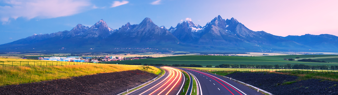
Geography
The Slovak Republic is located in Central Europe, sharing borders with Austria, the Czech Republic, Hungary, Poland and Ukraine. Mountains, lowlands, valleys, lakes, cave formations, forests and meadows provide many examples of Slovakia's year-round natural beauty. The Carpathian Arc, a range of mountains stretching across the north, takes up almost half of the country. Lowlands stretch from the southwest through south to eastern parts of the country and are important agricultural areas of Slovakia.
| The highest point | Gerlach Peak (“Gerlachovský štít”) in the High Tatras (“Vysoké Tatry”) 2,655 m above sea level |
| The lowest point | Bodrog River 94 m above sea level |
| Maximum length | 428 km (Záhorská Ves [W] – Nová Sedlica [E]) |
| Maximum breadth | 195 km (Štúrovo [S] – Skalité [N]) |
| The longest river | Váh River (378 km) |
| Time | GMT +1 (GMT +2 from last Sunday in March to last Saturday in October). In winter, the Sun rises approximately at 7:30 and sets around 16:00. In summer, sunrise is before 5:00 and sunset is around 21:00. |
Weather: The Slovak Republic has a continental climate with 4 seasons (spring, summer, autumn, winter). Summers are hot; winters are cold, cloudy and humid. The average winter daily temperature is -2 °C but can plummet to -15 °C. The average daily temperature in summer is 21 °C but can be as warm as over 30 °C. The coldest month is January; the hottest month is July. The period from May to July is often considered the best season. Data concerns Bratislava, the capital of Slovakia. Weather in northern and mountainous regions could be much colder.
SAIA, n. o.
(Slovak Academic Information Agency)
This website is administered by SAIA and has been created and maintained with the financial contribution of the Ministry of Education, Science, Research and Sport of the Slovak Republic.
Contact us
Sasinkova 10, 812 20 Bratislava 1
Slovak Republic
© SAIA, n.o. (Slovak Academic Information Agency). All rights reserved.
Runs with MODx | Created by STUDIO MAX MEDIA